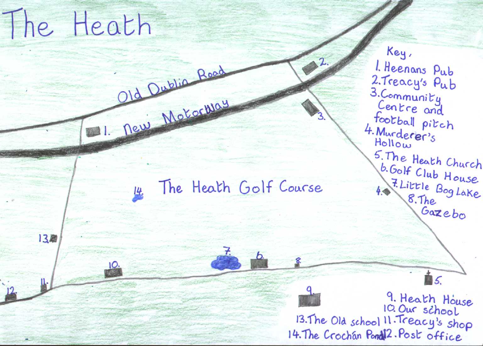
This map was drawn in October 1999 by Jonathan Cushen
(Sixth Class)
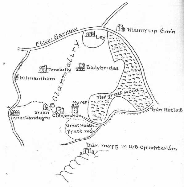
This is an old 16th Century map which shows The Heath and the Rock
of Dunamase.
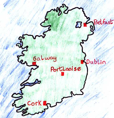
This map of Ireland was also drawn by Jonathan
(our class cartographer!). Can you see Portlaoise?
It is our nearest town.
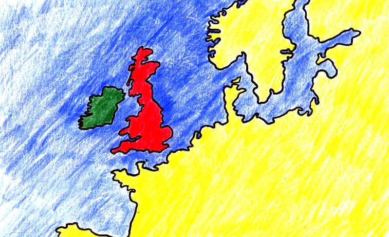
This map by Jonathan shows Ireland in green, our nearest
neighbour Britain in red, and part of Europe in yellow.
 HISTORY
TODAY
LOCAL NAMES
MEMORIES
HISTORY
TODAY
LOCAL NAMES
MEMORIES
THE HEATH
GAEILGE
INTERESTING FACTS
SPORTS
PLAYGROUND GAMES
PLACENAMES
A DAY IN THE LIFE MURDERED ARTISTS
GOODBYE TO PRIMARY SCHOOL
OUR MILLENNIUM
HOW WE WELCOMED...
HOW'S SHE CUTTIN'?
THE CAT LAUGHS?
OUR WRITING
SORRY, LEONARDO...
NO MORE, NO LESS
PICTURES OF OUR AREA
OUR COMPUTER ART
FORTY FACES