

The Boyne Navigation
One of Irelandís best known rivers, the Boyne
has played an important part in the countryís culture and history. Site
of the earliest habitation by man in Ireland, location of the great burial
mounds of Newgrange, Knowth and Dowth and scene of a decisive battle in
1690 along with itís reputation as the great Irish salmon river have established
the Boyne as unique in Irelandís history.
Although over 60 miles in length only the final 20 miles from Navan to the tidal estuary at Drogheda formed part of the navigation.
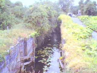
History
The earliest man-made canal in Ireland, the Newry
Canal was completed in the 1740ís and interest moved next to the Boyne
with the first survey by Steers but work did not commence until 1748 and
the navigation did not reach Slane (9 miles) until 1766. It did not reach
Navan until 1800 while further plans to extend to Trim were never implemented.
Conflicting interests of mill owners, fishermen and landowners ensured
that the navigation was never successful and in the 1920ís it was finally
abandoned as a navigation.
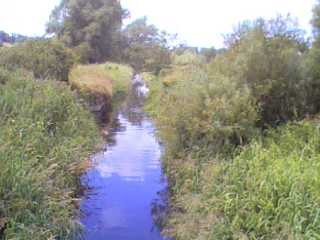
To-day
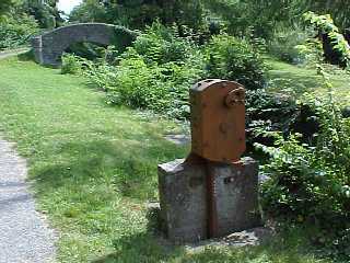
As a result of works carried out by the local
authority (Meath County Council) access to walkers is now available at
3 points along the former navigation. Towpaths are accessible at Drogheda,
Slane and Navan and are being used by local residents and visitors.

Navan
The Ramparts Car park (past Spicers Bakery) follow
signs for Boyne Way. Path goes 3 miles to Stackallen Bridge.
Wide gravel pathway ,suitable for disabled and
childrenís buggies.
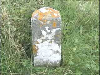
Slane
Slane Bridge to Rosnaree Lock
( 1 mile)
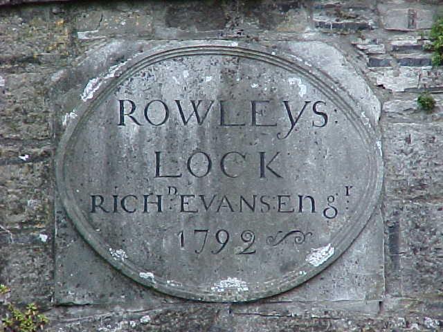
Drogheda
From Oldbridge sea lock follow signs for Boyne
Way (2 miles)
How you can become involved?
Studies have shown that small sections of the former navigation can be brought back into water with minimal cost and effort. These sections would provide benefits for canoeing, dingy use and fishing opportunities.
Contact us if you want to be involved!
 |
 |