|
Maps |
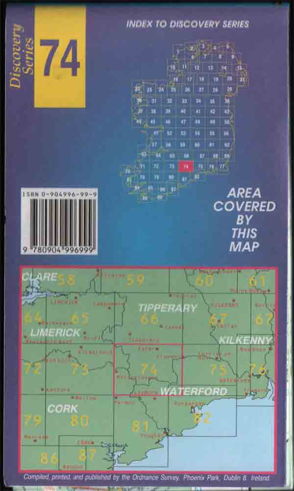
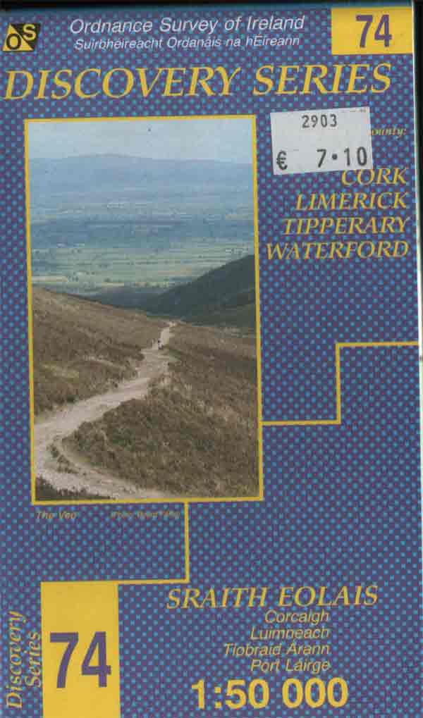
The most suitable maps for hillwalking in Ireland are the Ordnance Survey Discovery Series. They can be obtained from any shop specialising in hillwalking.The present cost is about 7 each. A more expensive laminated version is also available. Scale 1:50 000 where 2cms equals 1km (grid square size). Both types are shown below with links for ordering online.
|
|
|
| The above map is the standard type and can be ordered online from http://www.osi.ie/ordering/index.shtml Cost about 7. |
 |
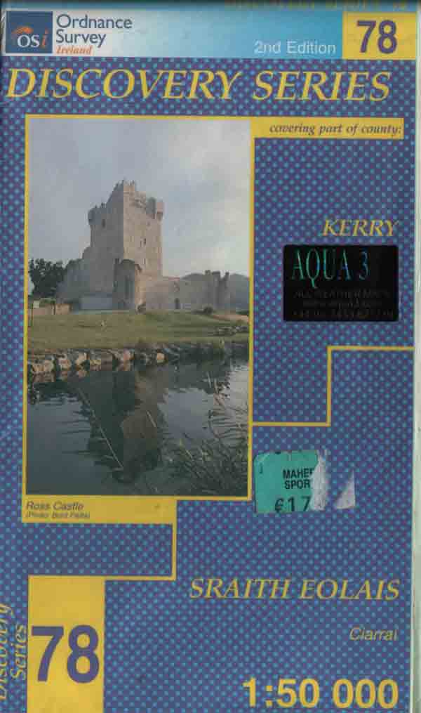 |
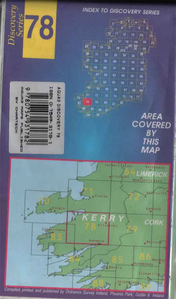
The map shown above is is laminated and waterproof. These maps can be ordered online from the following website http://www.aqua3.com/mappages/homemaps.asp cost about £12.
|
Discovery Series Maps |
|
Area |
Map Number |
| Dingle Peninsula | 70 &71 |
| Ballyhouras | 73 |
| Galtees, Knockmealdowns | 74 |
| Comeraghs, Slievenamon | 75 |
| The Reeks, Gap of Dunloe, Purple Mountain, Mangerton, Torc, Old Kenmare Road, Molls Gap. | 78 |
| The Paps, Caherbarnagh, Crohane, Stoompa, Claragh Mountain, Musheramore. | 79 |
| Caherciveen, Waterville. | 83 |
| Hungary Hill, Bere Island, Allihies, Dursey | 84 |
| Glengarriff, Bantry, Priests Leap, Knockboy, Gougane Barra. | 85 |
![]()