Images from Clogga
Click on images to enlarge.(These may take some time to load ):
|
|
|
|
|
|
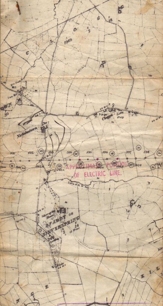
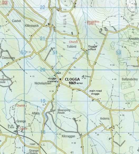
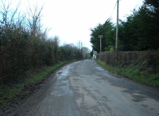
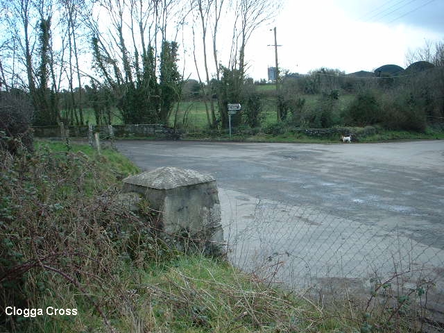
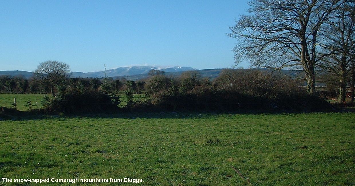
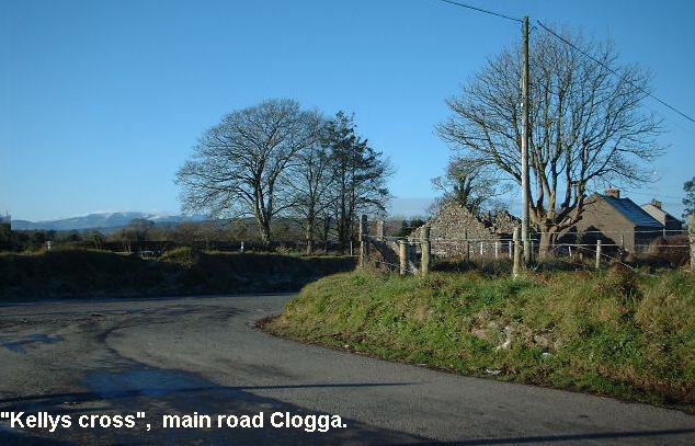
| Map of Clogga(1903) | Recent map of Clogga | Clogga Main Road | Clogga Cross | Comeragh Mountains |
|
|
|
|
|
|
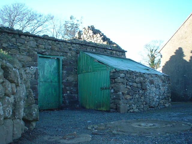
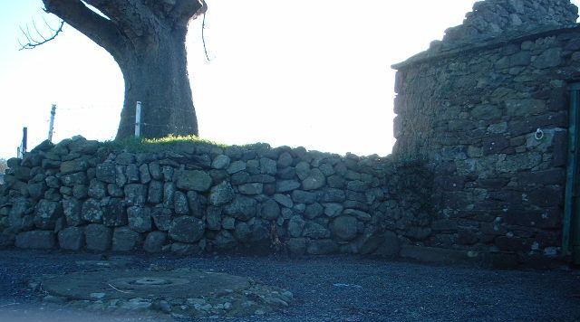
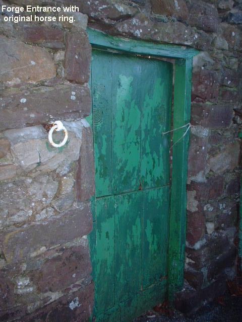
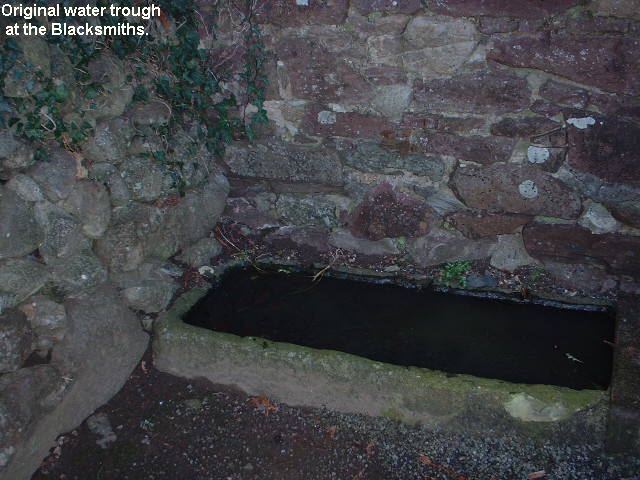
| "Kellys" Cross | Kellys Blacksmith | Old Blacksmiths(Kellys) | Forge Entrance | Horse water trough |
|
|
|
|
|
|
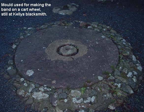
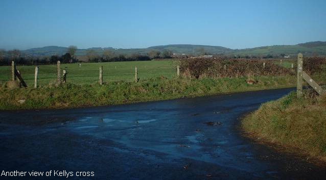
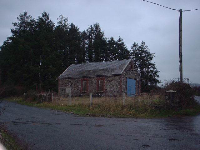
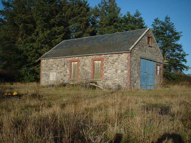
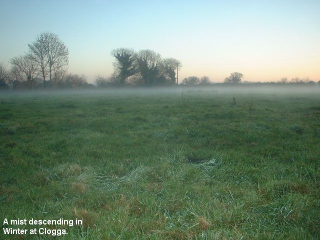
| Mould for wheel-making | Kellys Cross 2 | Clogga Creamery 1 | Clogga Creamery 2 | Mist |
|
|
|
|
|
|
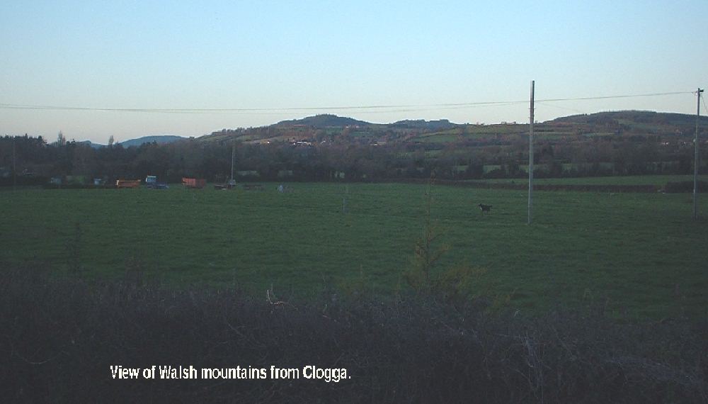
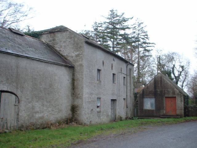
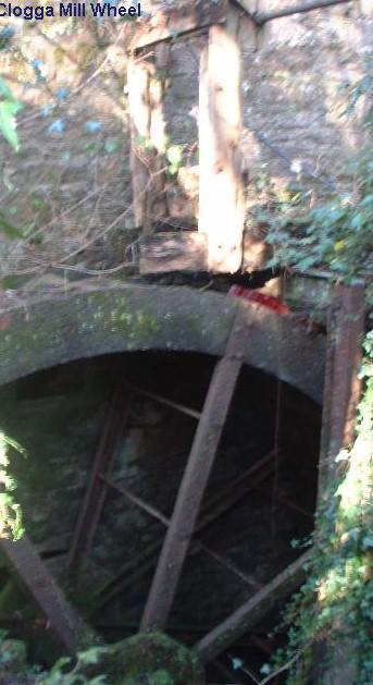
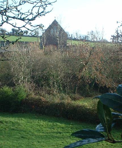
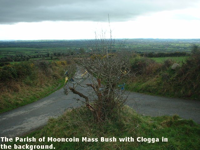
| Walsh Hills | Clogga Mill | Clogga Mill Wheel | Kilnaspic Church | Mass bush |