Maps of Mohill and South County Leitrim
This Page gathers the maps that appear elsewhere on the mohill.com website. Click on each map to get a full-size version.
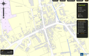
Contemporary Maps of Mohill area - Historical Maps Below
- Mohill and indeed all of Ireland is on Google Streetview - http://maps.google.ie
- Historic Maps of Ireland from the mid 1800s and early 1900s and today are available on-line here
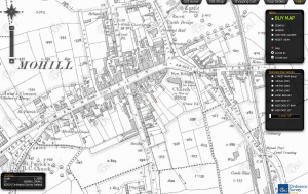
Historic 6" Maps from mid 1800s
Historic 25" Maps from early 1900s
Modern ISO surveyAn independent map of Mohill is that of John "The Map" Callanan.
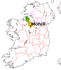
Mohill - Location in Ireland
Directions to travel to Mohill can be found here.
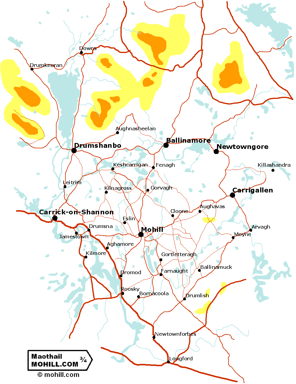
Towns and Villages of South Leitrim
Map)
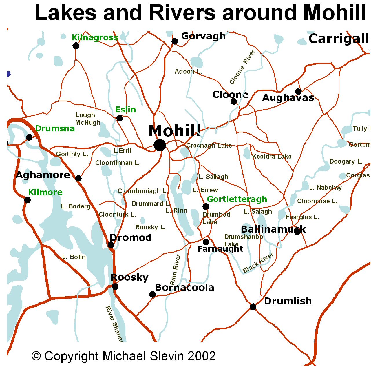
Rivers and Lakes of Mohill Area, County Leitrim
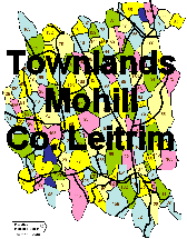
Map of the townlands of Roman Catholic Parish of Mohill / Maothail-Manacháin-
The most accurate and easy to see townland maps are found on the OSI 6" maps from the mid 1800s.
See also, see LEITRIM-ROSCOMMON.com.
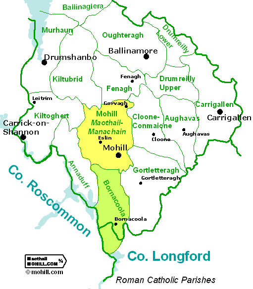
Map of Roman Catholic Parishes of South Leitrim - Mohill and Bornacoola highlighted
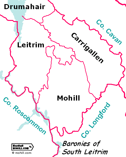
Map of the Baronies of South County Leitrim
(Mohill, Leitrim, Carrigallen)Historical Maps of County Leitrim and Mohill area
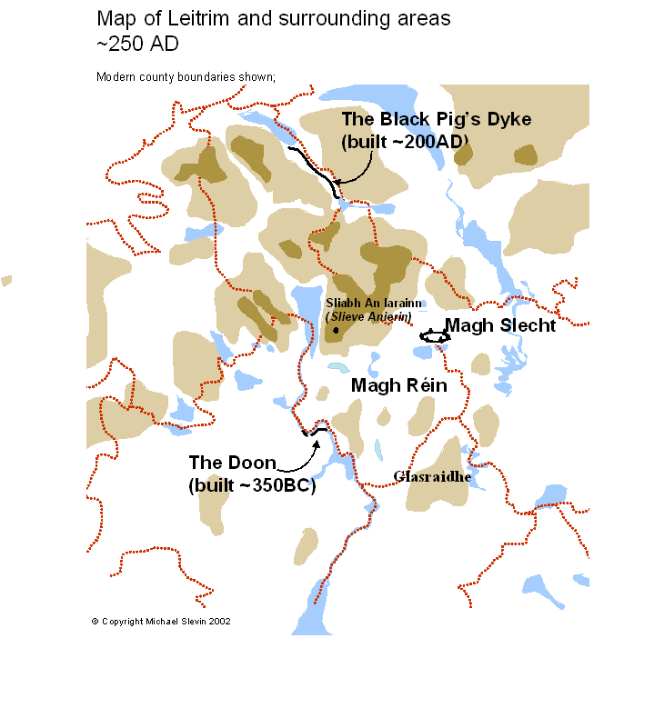
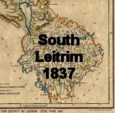
South County Leitrim
circa 250AD
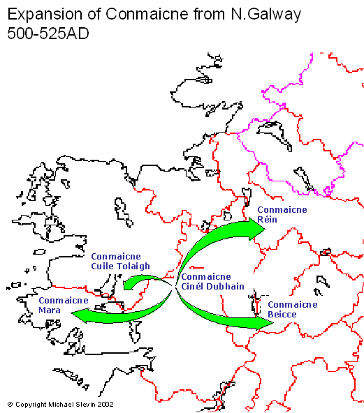
Migration of Conmaicne
circa 500AD
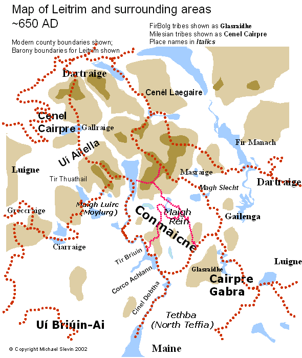
The peoples of County Leitrim
circa 600AD
another view
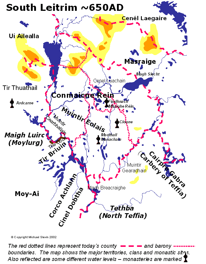
circa 650AD
[these are large files 206kB & 113kB]
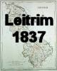
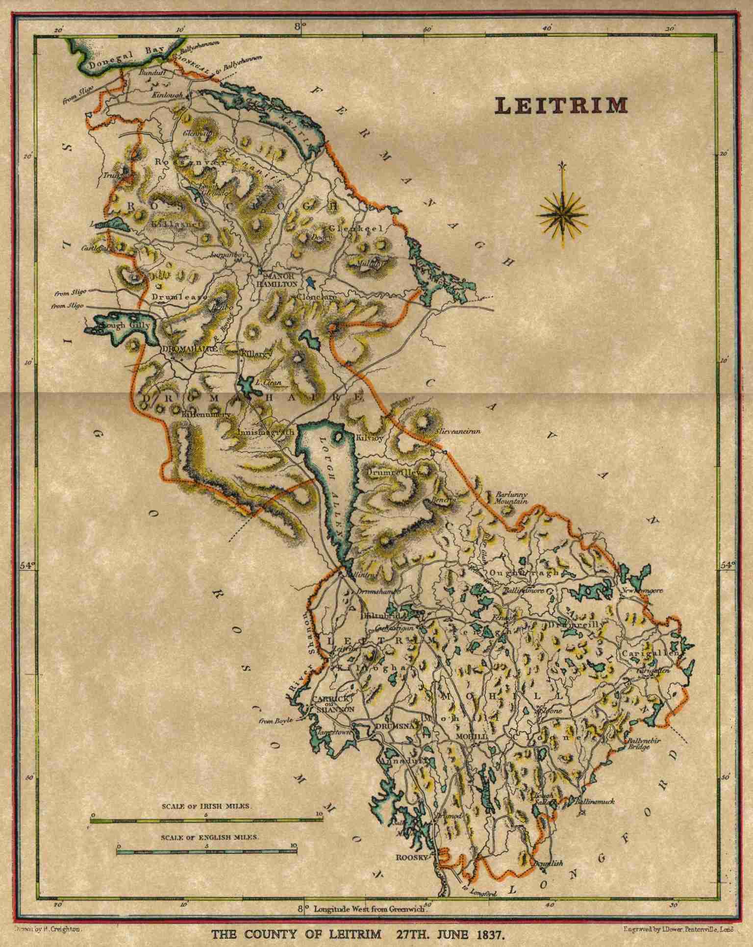
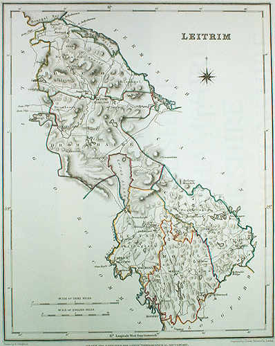
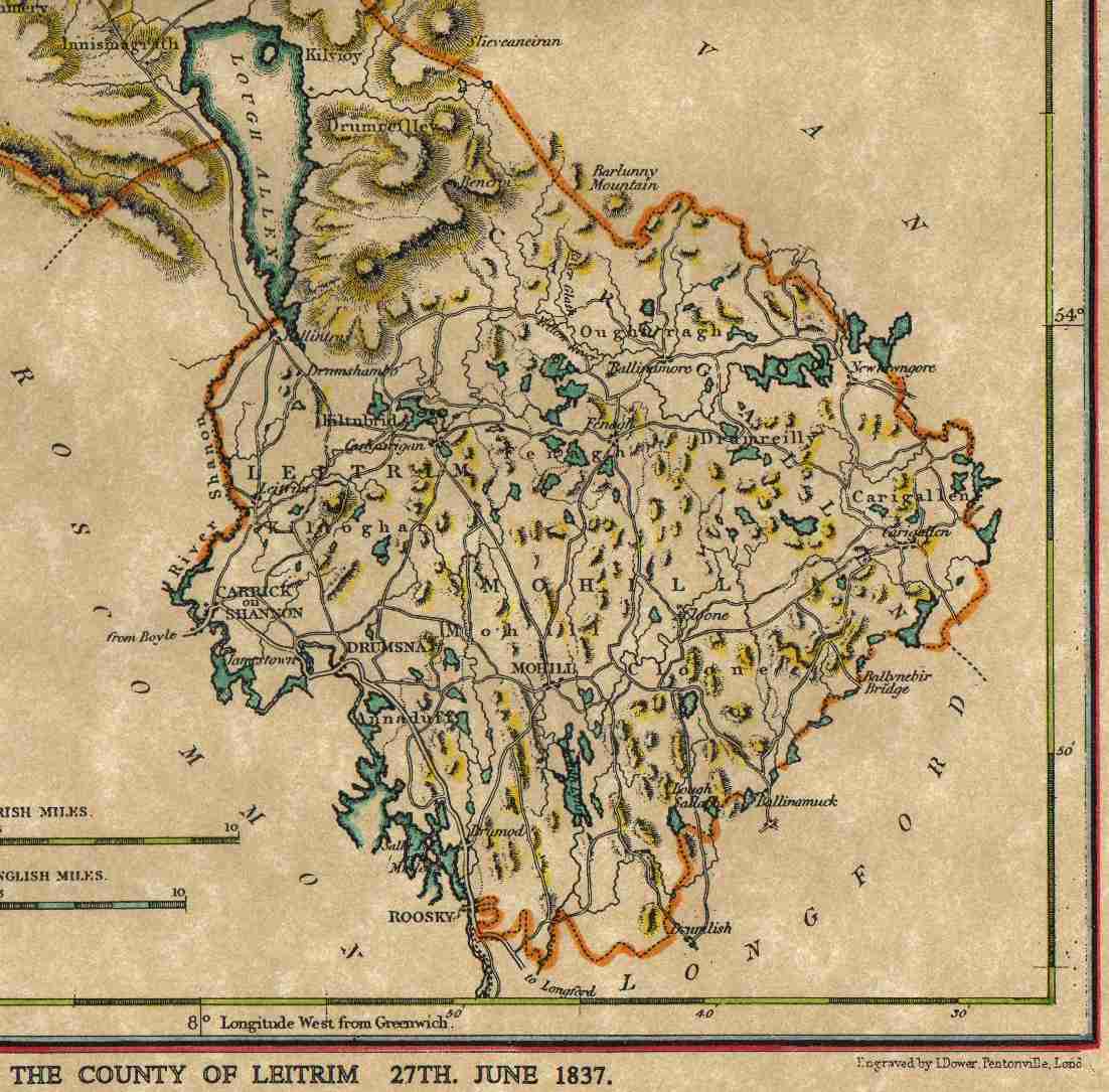
Map of County Leitrim 1837
Drawn by P.Creighton
Copyright has expired on these maps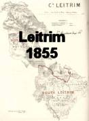
click maps above for medium-sized versions -
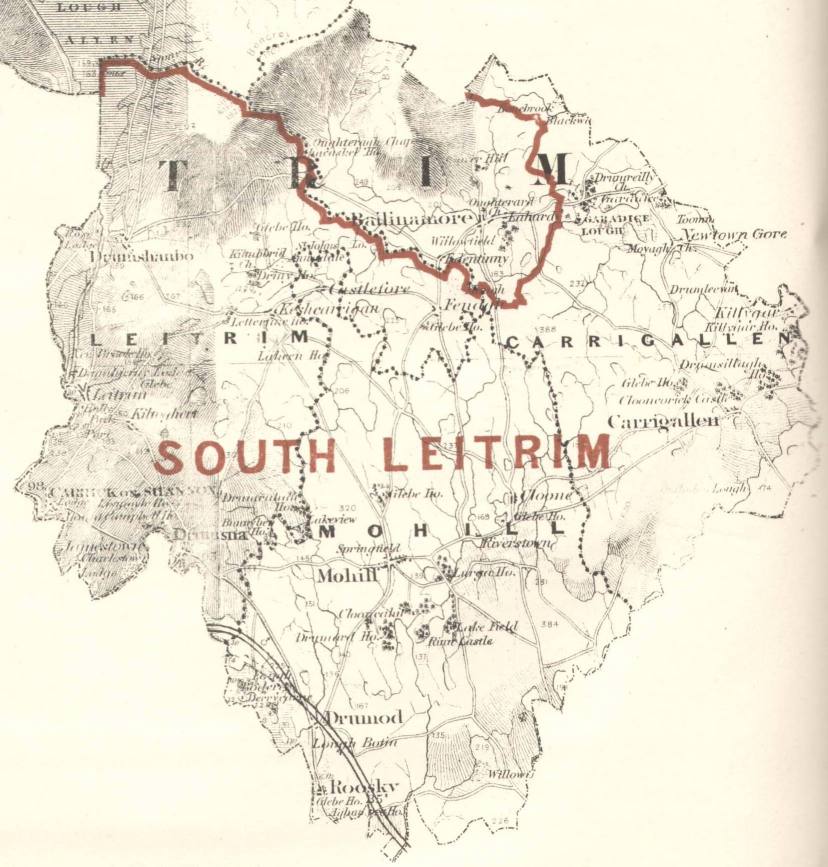
Map of County Leitrim 1855 and South Leitrim 1855
larger versions of these maps are
here (711kB) & here (357kB)
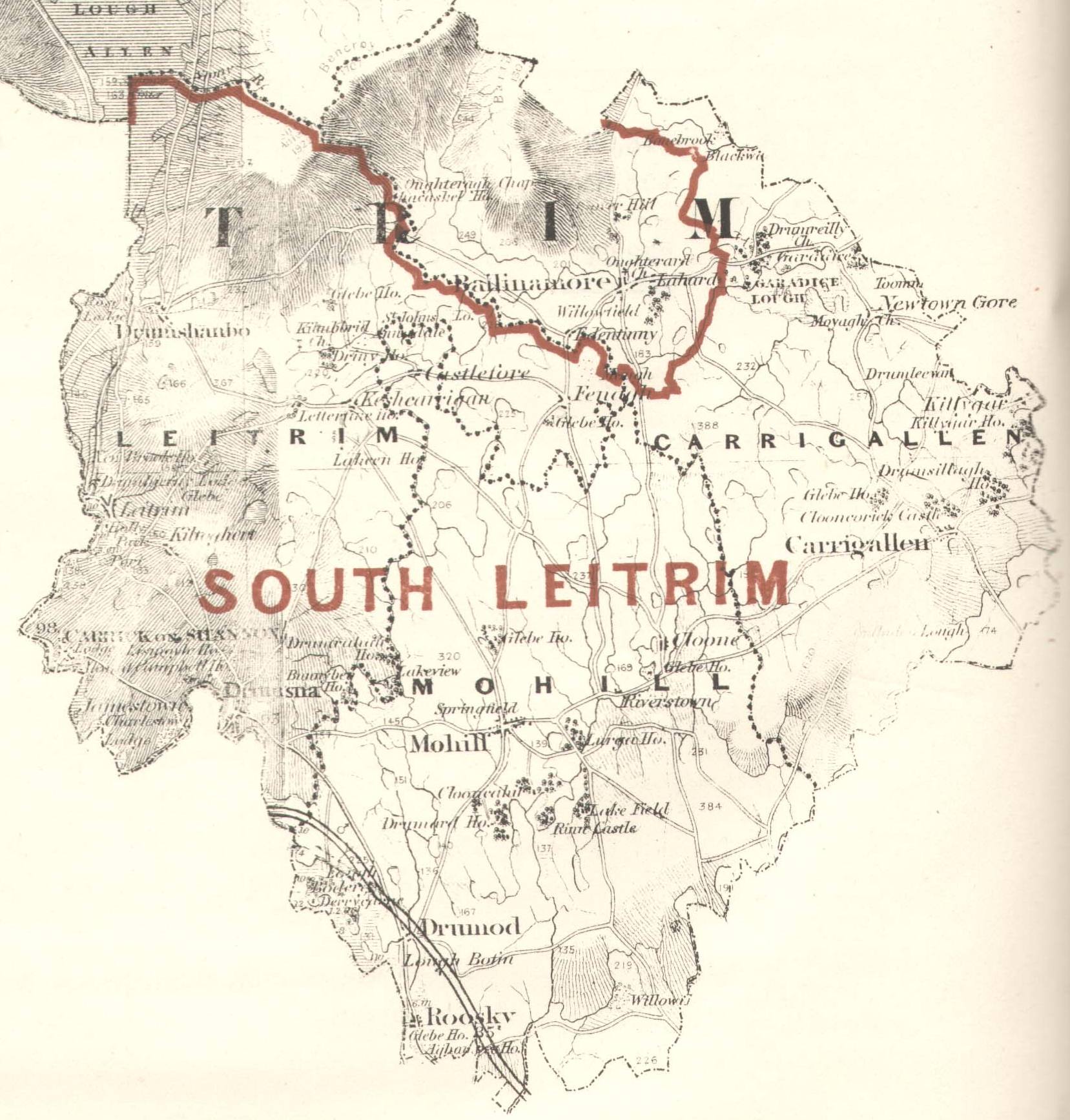
from Report of the Boundary Commissioners for Ireland 1885
Copyright has expired on these maps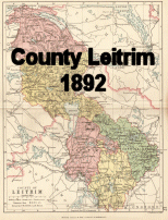
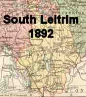
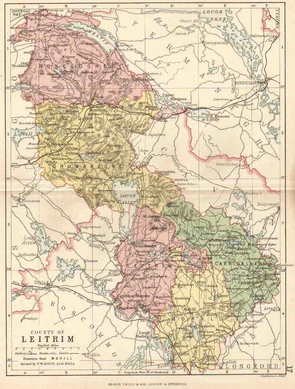
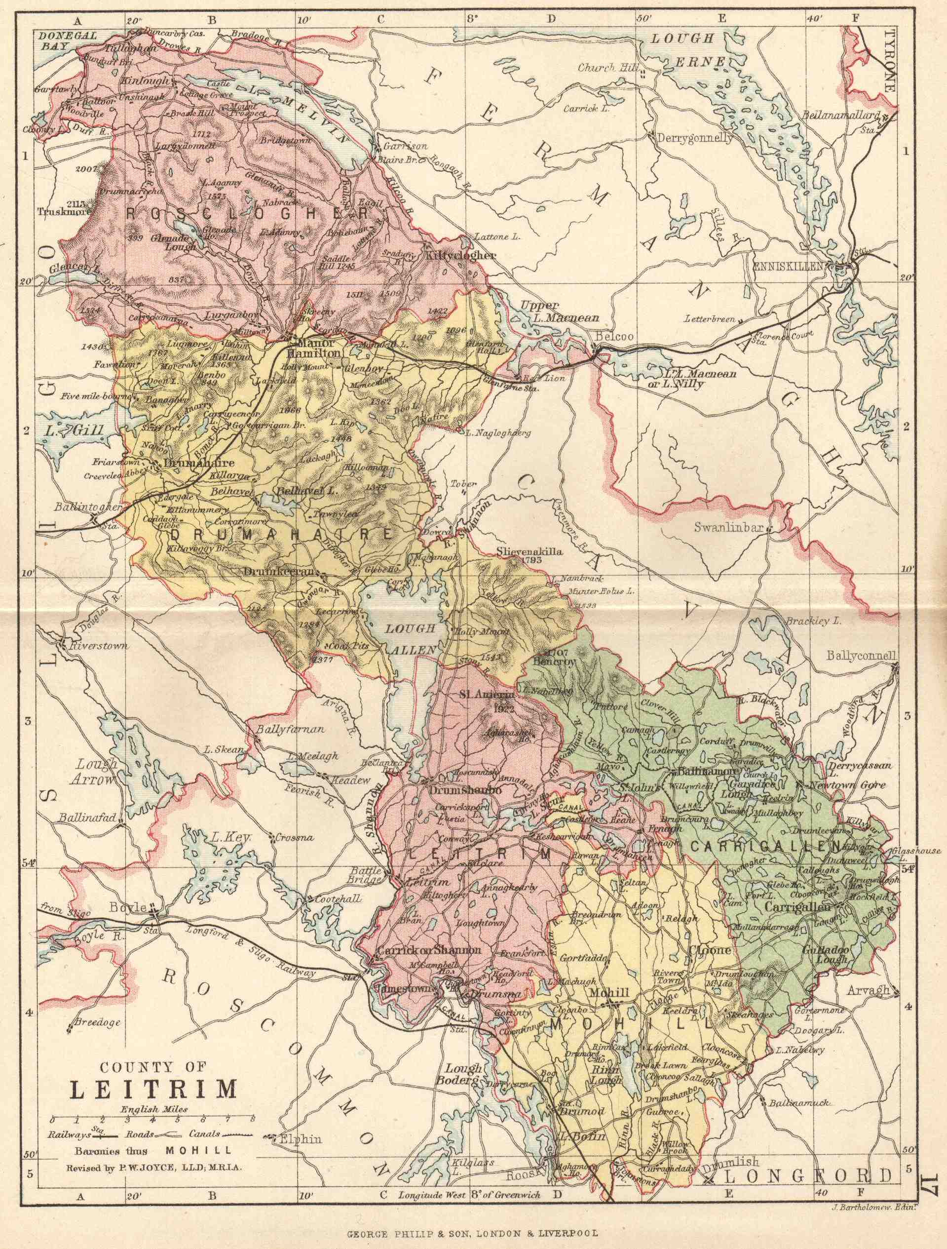
Map of County Leitrim 1892
from Atlas by G Philip & Son
2 versions of this map of Leitrim are here: 158kB and 499kB
South Leitrim is here: 254kB
This is the first map to feature the Ballinamore-Ballyconnell canal.
Copyright has expired on these maps
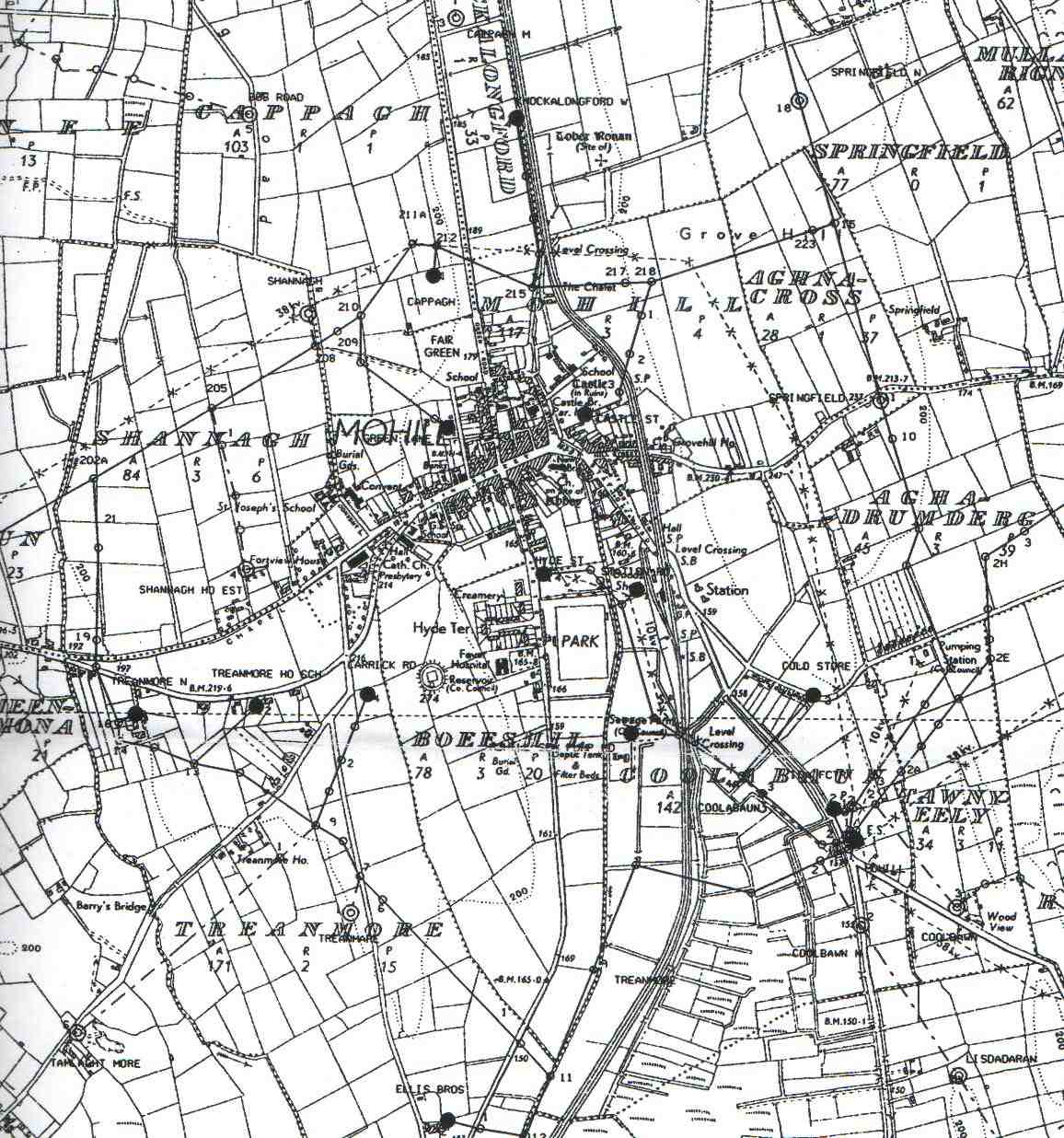
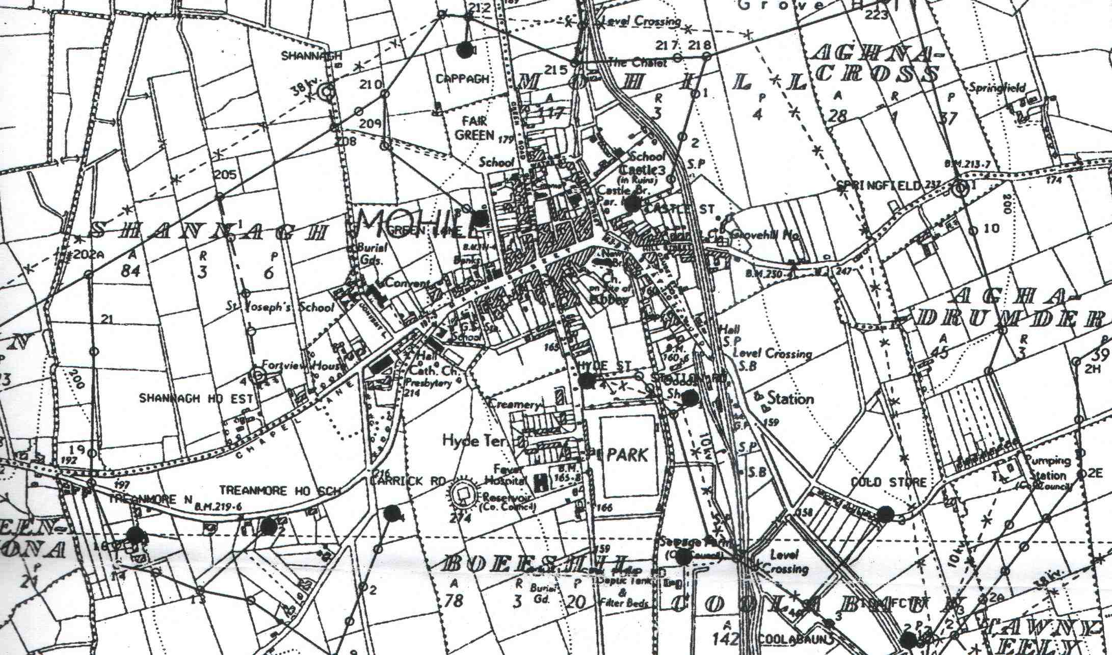
From OS map 1911 - (with some recent additions)
Click for a medium resolution (205kB), high resolution (298kB) version
The Railway and station are prominent.
Copyright has expired on these maps

