|
|
|
|
|
|
|
Please Note in cases of severe arctic weather
conditions, the starting points and the walk will be changed. Please look for
the notice on the homepage or ring the Secretary at 00353 (0)86 843 4440 for more
details. |

Programme March
2012 to September 2012
|
Date |
Venue |
Starting Location |
Starting Time |
Aprés Walk |
|
Sun 11/03/12 |
Slieve Commedagh |
Donard Car Park (J375
306) |
10.45am |
O’Hare’s, Newcastle |
|
AGM Sun 25/03/12 |
Slieve Foy |
Carlingford Sailing Club (J
192 117) |
10.45am |
Carlingford Sailing Club |
|
Sun 08/04/12 |
Pierces Castle |
Leitrim Lodge (J223 256) |
10.45am |
Betty Doran's |
|
Sun 22/04/12 |
Carn |
Gamekeeper's Lodge (J284 214) |
10.45am |
Betty Doran's |
|
Sun 13/05/12 |
Clermont Cairn |
The Lumpers
(J101 108) |
10.30am |
The Lumper's |
|
Sun 27/05/12 |
Cove Mountain |
Carrick Little Car Park (J345 219 |
10.45am |
The Harbour Bar, Annalong. |
|
Sun 10/06/12 |
Slieve Loughshannagh |
Spelga Car Park (J267
273 |
10.45am |
Betty Doran's |
|
Sun 24/06/12 |
Donard |
Donard Park (J374 305) |
10.45am |
O’Hare’s, Newcastle |
|
Sun 08/07/12 |
Slieve Foye |
Carlingford Car Park (J188
119 |
10.45am |
PJ O'Hares |
|
Sun 22/07/12 |
Slievemartin |
Kilbroney |
10.45am |
The Kilbroney
Inn, Rostrevor |
|
Sun 12/08/12 |
Hen Mountain |
Rocky River Car Park (J223 256) |
10.45am |
Betty Doran's |
|
Sun 26/08/12 |
Meelmore |
Meelmore Lodge (J305 307 |
10.45am |
Betty Doran's |
|
Sun 7-9/09/12 -Festival |
Details Later |
Killeavey Football Grounds
|
10.45am |
|
|
Sun 29/09/12 |
Slievemoughanmore |
Attical Football Ground
(J267 188) |
10.45am |
The Kilbroney
Inn, Rostrevor |
Walks Classification
Generally there are three
levels of walk.
Please read the Walks
Classifications carefully as it is vital that you choose the right level for
your fitness.
|
|
Effort
Required |
Distance |
Height
in Metres |
Pace |
Time |
|
Challenge |
Very Strenuous |
15 - 18 km |
1000 + (3280 feet) |
Very Fast |
6 hrs |
|
Grade A |
Strenuous |
15 km |
900 + (2950 feet) |
Fast |
5 hrs |
|
Grade B |
Fairly Strenuous |
12 km |
800 + (2600 feet) |
Moderate to Fast |
5 hrs |
|
Grade C |
Moderate |
10 km |
700 + (2300 feet) |
Moderate |
5 hrs |
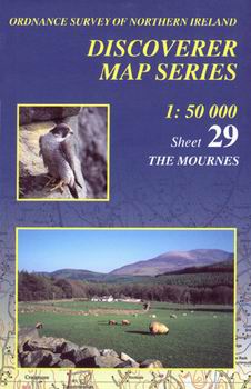
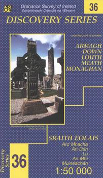
Maps Needed:
|
|
|
|
|
1:50000
OSNI Sheet No 29 |
1:25000
OSNI Mournes Map |
1:50000
OSI Sheet No. 36 |
|
This
Map Covers The Mournes and Most of the Cooleys |
This
Map Covers The Mournes only. |
This
Map Covers all of the |