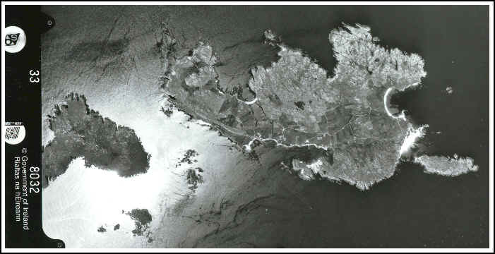
AERIAL PHOTOGRAPH OF BOFIN
Aerial Photograph from the Ordnance Survey Ireland, taken 27.06.95 at 14:24 (scale: 1:40000)