
|
|
|
|
|
|
|
|
|
|
|
|
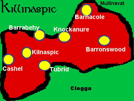
Killinaspick (Kilnaspic)
Choose
a townland from the map:
 |
|
Townland
|
Acres
|
| Killinaspick (Kilnaspic) | 265 |
| Cashel | 227 |
| Barnacole | 120 |
| Barrabehy (incl Knockanure) | 539 |
| Tubbrid | 344 |
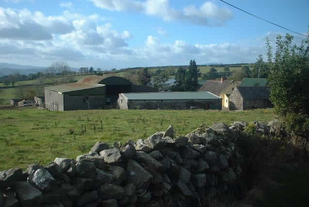
Killinaspick/Kilnaspic (265 acres)
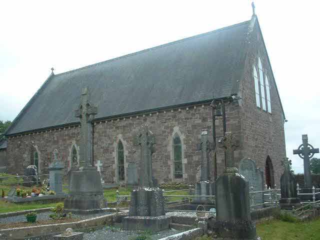
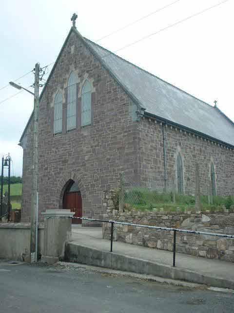
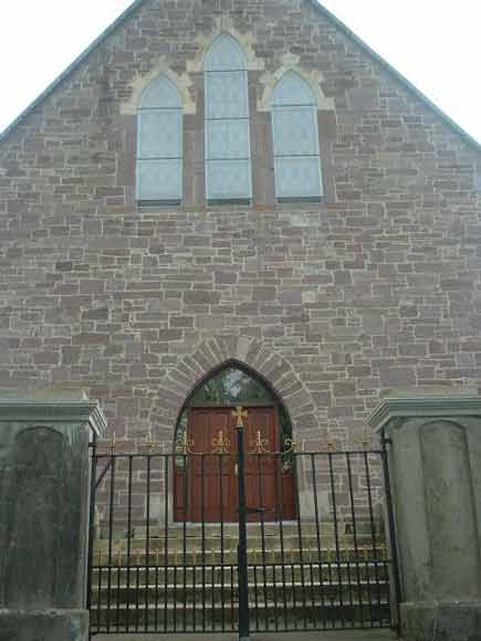
Kilnaspic (historically also spelt Killinaspic/Killinaspick) is situated in the north of Mooncoin parish. It borders the parishes of Mullinavat, Piltown and Kilmacow. Kilnaspic church is situated on the slope of the Walsh hills over-looking the parish. It was built in the 1866, replacing the old church located near by at the bottom of the hill. It is the oldest of the current churches in the parish and is a smaller version of Mooncoin church. There have been three churches in the immediate area. The first was built in 1752 just down the road from the current church (near Aylward's house), it had a thatch roof and was technically a 'Mass house' as Catholic churches were not permitted. The second was built cir 1800 by Fr John FitzPatrick. The third and current 1866 church is dedicated to St Killogue. The original spelling is Killinaspick but is now sometimes spelt 'Kilnaspic' or 'Killinaspic'. The name in Irish is 'Coill Na Easpag', meaning 'the Bishops Wood'. This is deceiving as usually when a name begins with 'Kill' it indicates a church. But in this case it represents 'Coill' which means wood or forest. When names were anglicised, the authorities just took what the locals said and anglicised it. So they when they heard 'Coill na Easpag' - it sounded like 'Killinaspic'. The Bishop of Ossory would have been granted the wood, and used it to sell timber or for hunting rights. Timber was a valuable commodity centuries ago.
A 'People's shed' is now located in the area where many events, talks and classes are held throughout the year including the annual, 'Craic at the Crossroads', inaugurated in 2023.
 |
 |
 |
 |
|
Kilnaspic
Church
|
Kilnaspic
Church
|
Kilnaspic
Church
|
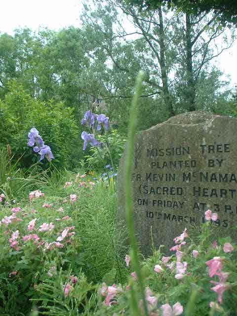
Missionary
Stone
|
Back to Map
Tubrid was once a civil parish of its own which encompassed the surrounding areas. The ruins of the old church and graveyard can still be seen in Tubrid (Church of Ireland chapel when it closed). it was believed to have been dedicated to Saint Killogue also, hence why the 19th century church has the same dedication.
 |
 |
 |
 |
 |
|
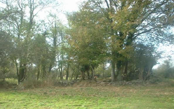
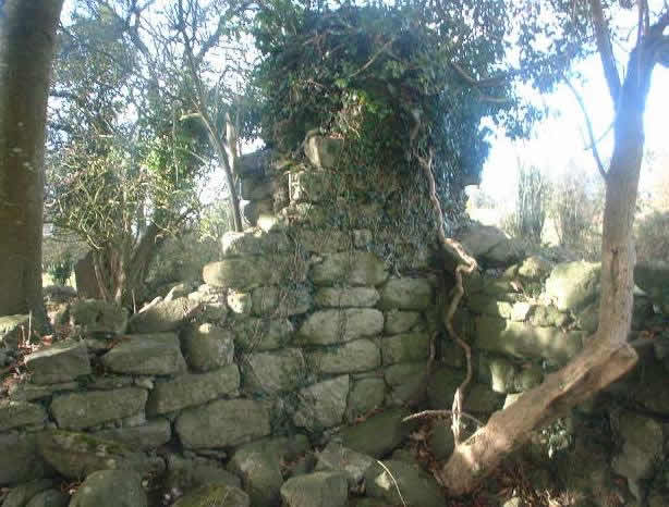
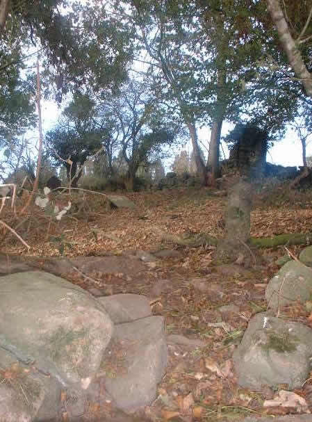
Tubrid Church
|
Tubrid Church
|
Tubrid Church
|
Gravestone
|
Tubrid Church
|
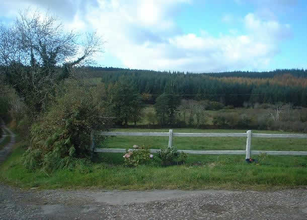
Meaning 'The Hill of the Yew tree', in older records it is included in the townland of Barrabehy.
 |
 |
|
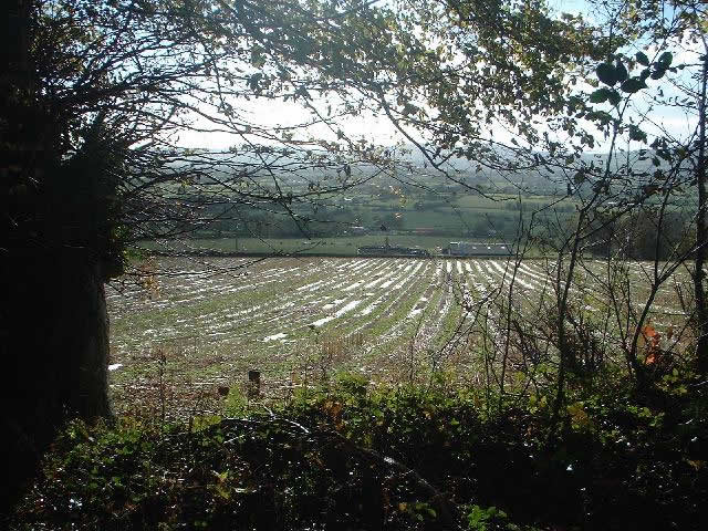
View from
Knockanure
|
View from
Knockanure
|
Meaning 'The Hill of the Birch'.
 |
 |
|
Barrabehy
|
Barrabehy
|
Meaning 'Barna-Nicole' - 'Nicholas Gap'.
 |
 |
|
Barnacole
|
Barnacole
|
Cashel is situated in the far north-west of the parish. It is on the border with Piltown with the next townland being Tobernabrone (its is actually in the Civil Parish of Fiddown). Originally called Cashel-Farrell, their is still evidence of the original cashel or fort that was located there. Part of the area is called Tobberafauna (well of the slopes).
 |
 |
 |
|
View from
top of Cashel
|
View from
Cashel
|
View from
Cashel
|