
|
|
|
|
|
|
|
|
|
|
|
|
Mooncoin
Choose a townland from the map:
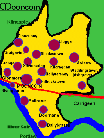 |
List of Townlands in Mooncoin
|
Townlands
|
Acres
|
| Ballincurra North | 100 |
| Ballincurra South | 93 |
| Ardera | 583 |
| Affady or Silverspring | 242 |
| Ballytarsney | 487 |
| Kilcraggan | 369 |
| Cloncunny | 406 |
| Clonmore (includes Riverquarter) | 923 |
| Graigavine | 268 |
| Ballybrassil | 260 |
| Clogga | 1067 |
| Dournane | 417 |
| Grange | 643 |
| Mooncoin | 43 |
| Nicholastown | 184 |
| Polerone | 699 |
| Ashgrove/Waddingstown | 319 |
| Filbuckstown | 159 |
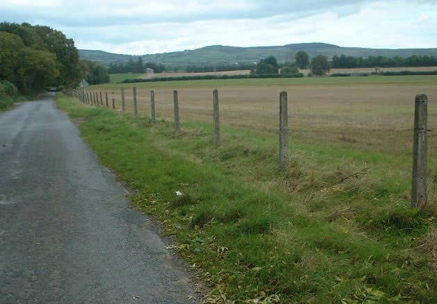
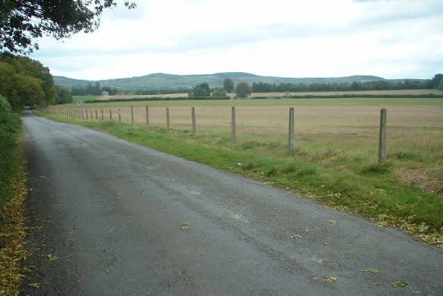
The village of Mooncoin is situated in the far south of Kilkenny. It is on the main road between Limerick and Waterford. It was once merely a fieldname in the civil parish of Polerone and Ballytarsney. But with the building of the church on Chapel Street and the growing importance of the main road, this changed. It is interesting to note that in the early part of the 1800s there were bigger populations in Ballybrassil, Dournane and Barabehy than in Mooncoin village (due farming and fishing being the main industry). So Mooncoin was really only made up of a few houses and public house, based around Chapel Street. But since the early 1800s, Mooncoin village has become the focal point of the area, usurping Rathkieran which was the focal point of parish for the first half of the last millennium. There is probably a few reasons for this but one of the bigger ones is the building of the first Catholic church in the village cir 1802. There was also a Presentation convent built here on what became main street at this time (near the current Centra shop on main street). Also, the Bianconi Stage coach passed through Mooncoin, from Waterford to Limerick. This was the first real form of public transport available to the masses and revolutionised travel, as up to then most people didn't leave their immediate area. These advancements. amongst others. allowed Mooncoin village to grow rapidly.
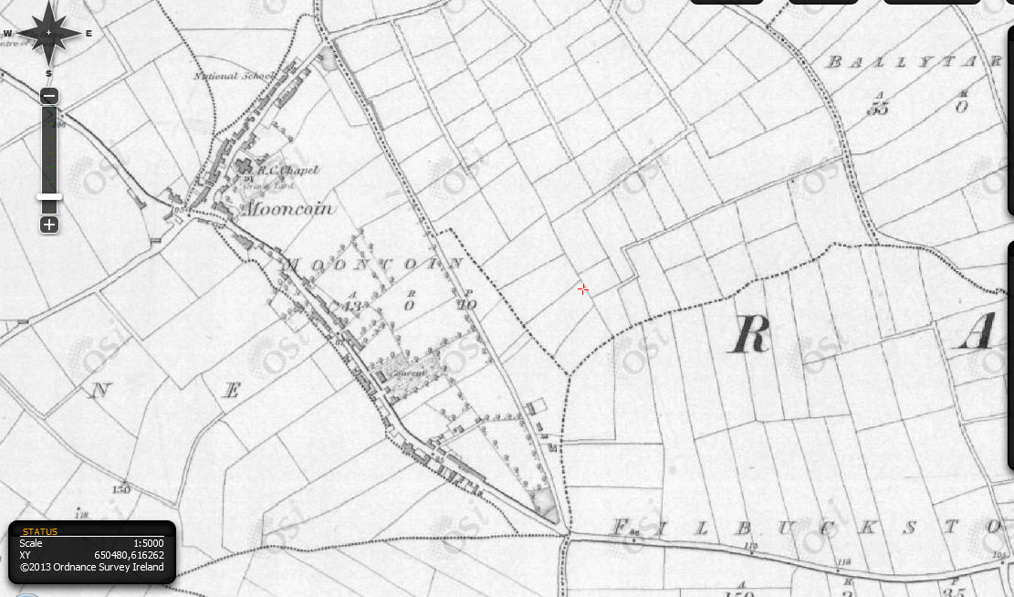
The map below shows Mooncoin cir 1850. The Mooncoin townland is really only a triangle between New Road, Chapel street and up to the Pound. There was just agricultural fields from the Pound to Rathkieran (where Comeragh View , Colaiste Cois Suire etc is now). Where the current Mooncoin church is, and towards Carrick on Suir, was also just fields. Also note the Catholic Church is in the old graveyard on Chapel Street at this time.
The 'Pound' in Mooncoin got its name as it used to be the 'drop-off' place of wandering donkeys, cows or horses. So if an animal was found it was tied up there and the owner would go there to claim it i.e. it was 'impounded' there awaiting collection!
As stated, Mooncoin got its name from the Irish 'Móin Choinn', which means 'Coyne's or Quinn's Bog' ('Moin' presently means turf/peat in the Irish language). The boggy land behind Chapel Street/the current Garda station, was said to be owned/rented by a Quinn family, while others think it was named because of 'Coyne' Walsh of Grange Castle. In this part of Ireland, calling a field a 'bog' didn't necessarily mean it was a bog by definition, but just that it was very wet land, usually because of springs and the watertable being high there.
 |
 |
 |
 |
|
Garden |
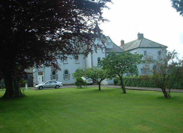
Old Convent, now private apartments |
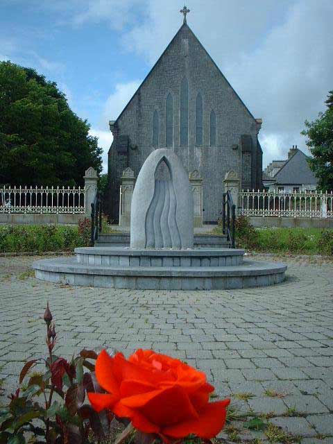
Mooncoin Church |
Mooncoin Map cir 1850 (note: church in old graveyard) |
Clogga is biggest townland in Mooncoin, comprising of 1069 acres (includes areas known locally as Barronswood and Cloneen). It is situated three miles north of Mooncoin village. It was once a thriving village of its own, with a shop, post office, creamery and mill. Sadly these have all closed down through the years. At present, there is over one hundred people living in Clogga.
Clogga Mill
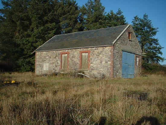
Clogga Mill was built in the early 1800s by the Bowers family who were the local landlords in Clogga. It was then ran by a Walsh family and then was owned by the Quaker Mennell family until the 1920s. It was then bought by Jimmy McDonald. He and his sister Peg resided there till their deaths in the 1970s and 1980s. It was then passed on to their nephew Wattie Hogan who resided their until his death in 1999. It is still in the possession of the Hogan family.The mill was used to grind the local farmers 'corn' (wheat and oats) to meal so they to be used to feed animals during the winter. It was managed for many years by Jack O'Shea who also lived in the mill until his death in the 1960s.
The mill is still standing today and has the original water wheel and grinding stone. There was also a shop which sold sweets, cigarettes etc. The mill and shop closed in the early 80s. It was forced to close with the introduction of silage and the mass production of feedstuffs.
Clogga Forge
The blacksmith's forge was run by the Kelly family. The forge was situated at their home on the main road in Clogga near Kelly's cross. Besides horse shoes, they also made other metal objects such as gates, the band used on cart wheels and different types of tools.
The remains of the forge are still in place today. There is a horse ring to tie horses and the original horse water trough, which was also used to cool the metal, are still in place. Also, the mould for making the band on a cart wheel can still be seen outside the forge.
Larrissey's Shop
One of the main focal points of the community in Clogga was Larrissey's grocery shop. It was situated on the main road in Clogga (now kearns).
It was owned by Jack Larrissey. It had been in the Larrissey family for generations. It sold a wide variety of food and also animal foodstuffs. Jack Larrissey himself, was said to have "a heart of gold" and often helped people in Clogga giving them lifts to Mooncoin with his horse and cart. Having a horse and cart was a luxury many could not afford in previous generations. He also had a book policy, were people would get their food "on tick". This meant they would get their food and pay for it when they could afford it.
Jack Larrissey died in 1966. The shop was then inherited by the Doyle's. After that the shop was run by the Browner family for many years. It was then run by Peter Fennelly (brother of Kate Browner) for a short time. In the early 1980s it was purchased by the Kearn's who ran it until its closure in the late 1980s. The shop is now demolished.
Clogga School
Clogga school was situated in the north of Clogga. It was a primary school whose catchment area included Clogga, Kilnaspic, Tubrid, Barronswood, Cashel, Knockhouse, Knockanure, Ardera and Nicholastown. It was opened in 1888 due to the increase in population. It served many families through the years until its closure in 1968.
The building consisted of two separate classrooms. One classroom
served the junior infants up to 2nd class the other served 3rd class up to 6th
class. It had a play area at the back. The building now has been converted to
a house and is still occupied. During the schools existence
it always had two teachers, one for each classroom.
(For more information on
Clogga see the
clogga website(http://homepage.eircom.net/~cloggaireland/).
 |
 |
 |
|
Clogga Creamery
|
Clogga Mill
|
Kellys Forge
|
 |
 |
|
Nicholastown
|
Nicholastown
|
Nicholastown lies between Clogga and Silverspring and has 184 acres of land. It is not known who is the original 'Nicholas' for whom the area gets its name.
The name comes from the Irish, ard, meaning a hill or elevated place. There was a church here at 'the pond' but no trace remains. There was also a castle here but this was burned in 1820. At the crossroads in Ardera there was a mass bush where people used to come to pray during the penal times (before and after 1700).
'Church of the rocky land'. No remnants of the church remains. There was a castle located here up until cir 1700, which was owned by a powerful Walsh family, who were Constables of Iverk.
 |
|
Kilcraggan
|
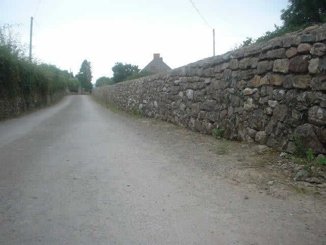
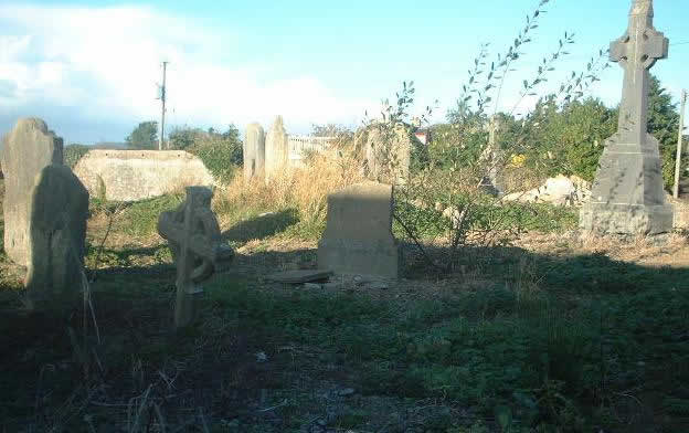
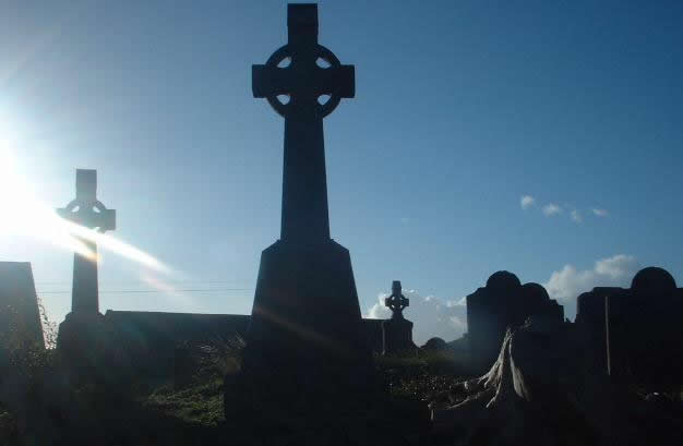
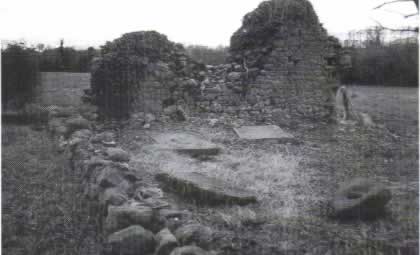
The townland of Ballytarsney is situated just a half a mile north of Mooncoin village. It is sometimes spelt in its original format 'Ballintarsna'. The name comes from the Irish 'Baile Trasna' or the 'Townland Across'. It holds the claim of having the first Catholic Church built in the area since the Reformation of the 1540s. This church, initially a 'Mass House', was built here around 1750 AD in a field called Corracaleen (we know there was a previous church here as its mentioned in Ossory records in 1300 AD). There was no Catholic church in Mooncoin village at the time. The church does not remain, but the graveyard is still visible. The church was said to have been quite small, with a thatch roof. This church was set alight at one stage and burnt to the ground by a 'Whitby who lived in Kilcraggan'. Whitby was however only upholding the law as technically the Catholics were not supposed to build places of worship at this time (Mass would be said at Mass bushes etc). The church was however rebuilt. It was subsequently, replaced by a church on Chapel Street near Mooncoin village which became the parish church. This was built in the year 1802 and Ballytarsney was abandoned.
Interestingly, the graveyard in Ballytarsney has been used until relatively recently. Dick 'Branigan' O Keeffe (the Pound) was buried there in 2005. That's about 300 years since the graveyard was first used if not longer.
 |
 |
 |
|
Ballytarsney
Graveyard
|
Ballytarsney
Graveyard
|
Ballytarsney
|
Silverspring lies between Nicholastown and Grange on the Mooncoin road. The official name is 'Afaddy'. This is a corrupted anglicised version of the original Irish name for the area; 'An Át Fada' i.e. the long fort (which was anglicised by the authorities as 'Afaddy'). There is no visible sign of the fort that was here. Unusually, it received a different name more recently, Silverspring, which comes from the water springs which come up through the ground over the bright coloured sand. These can be seen in the field coming from Mooncoin just on the bend after the woods. The water is said to have a silver transparency, hence the name.
 |
 |
 |
 |
 |
|
Silverspring
|
Silverspring
|
Silverspring
woods
|
Silverspring woods |
Silverspring
woods
|
.jpg) |
.jpg) |
.jpg) |
|
Cloncunny
cottage
|
Cloncunny
cottage
|
Cloncunny
|
Clonmore (meaning 'the Big Lawn/Meadow') lies along side the main road between Mooncoin and Carrick-on-Suir. It holds the distinction of being one of the first places in the area to be named in a written history. It is mentioned in the 'Catalogue of the Bishops of Ossory' (British Museum - London), when Geoffrey De Turville (Bishop of Ossory 1244-1250) came into possession of all the land in Clonmore ('Holy See' Lands -owned by the Church). In 1245 he received a Royal grant to hold an eight day fair in Clonmore, starting on the feast of St Martin (11 Nov) and also was allowed to hold a market there on Mondays. Subsequently, in 1460, it was recorded that there was an Episcopal Mansion built there by Bishop Hackett of Ossory (a kind of country house away from Kilkenny City for the Bishop). The ruins of St Canice's Parish church can still be seen in the area.
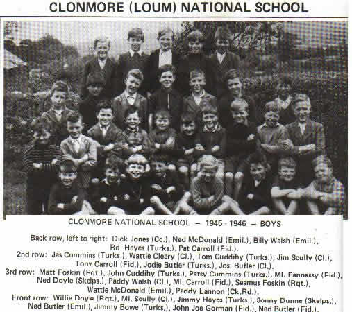
Like Clogga, Clonmore once had school(1888 Clonmore/Loum National School), which is still standing but has been turned into a house . There was another school which was opened in 1853 under teacher Martin Delaney, who had moved down from Kilnaspic school. He was assisted by Bridget Coughlan. The school had 46 boys and 39 girls on the roll by the following year. There had been a school in Clonmore the previous century with the Protestant rector in Clonmore writing in 1781 that he had built a school there from his own funds and donations from the parish, with a protestant school master. It did not exist however, by 1800.
 |
 |
 |
|
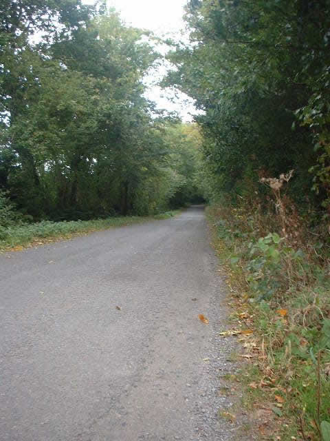
Main Road
|
Clonmore Boys 1945/46
|
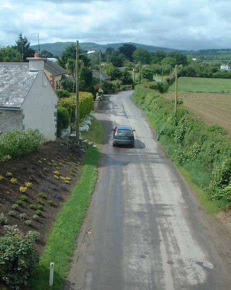
View from Bridge
|
Graigavine is originally part of Clonmore parish. The church here was the last in-use Church of Ireland place of worship in the parish, closing down in 1908. Most of the building was dismantled for safety reasons during the 1960s.
 |
|
Graigavine Cemetery
|
Grange
(Extracts from "Grange" - Essie Murphy &
Kay Fripps 2001)
Grange is a farming townland situated about 1 mile from Mooncoin village. The name Grange is attributed to the Northern settlers of 1169 and later. It means a barn and signifies a place where local corn could be processed.The village is probably medieval in origin. The village is centrally located in the townland and has the ruins of a castle while the townland itself contains the ruins of a medieval church and well.
As was the norm in days gone by, Grange, like other farming villages, did not only contain farmers but also a blacksmith, shoemaker, shopkeeper, a weaver and seamstress along with other occupations. The nearby town of Carrick-on-suir and Waterford has provided significant urban markets for various produces over the years. The railway (Waterford to Limerick line - built circa 1853) in the height of its existence was a valuable mode of transport and was also used for moving goods.
The village of Grange has dwindled considerably in size [to a population under 40 people]. It had a population of 240 in 1841 living in 35 houses. This had been reduced to 151 people in 22 houses by 1861, when Grange had no longer a sufficient population to be considered a township (Townships had included Mooncoin, Grange and Dournane).
The village comprises of upper and lower sections formerly known as Ceann a bhaile and Tóin a bhaile. Ceann a bhaile was the stronghold of the Walsh clan, seven families in all, each having a different nickname to distinguish them. The village is built on a limestone quarry. The rock was blasted and used for houses and roads. The quarry is now over grown but had been used up until 1900.
Approximately 1853 the railway ran and this necessitated a new entrance to Grange village. The bridge entrance to the village was of necessity because crossing gates giving access to the village across the railway would have been impractical from a farming point of view. The bridge was destroyed during "the troubles". It was burnt down in 1920 by the Irish Volunteers. This forced the British army to travel by road which made them an easier target.
The bogs in Grange were a valuable asset to farmers as they were the only means of water for man and animal. They contained a number of springs which later became known as holy wells.
Kilaspy
Kilaspy or the Bishops Church stands in ruins in the townland of Grange approximately one mile from the village. It is medieval in origin, dating back to the 13th century or before, when it may even have been considered an early ecclesiastical site. [the bishop of Ossory's ownership of the land in Kilnaspic and Clonmore cannot be discounted as a connection here].
Grange Castle
The castle in Grange appears to be of considerable antiquity and was originally probably more than just a tower house. Two sides are partially remaining to a height of 25 feet, the walls of which are five feet thick. It was built of limestone. Such buildings were held by powerful families and retainers. In the 16th and 17th centuries the castle was a seat of one of the Junior branches of the Walsh family. Local folklore states that Grange castle was once occupied by a Coin Walsh. He had a boat which he kept on a lake near the village of Mooncoin and its from him that Mooncoin derives its name - Móin Coin- Móin meaning bog or Coin Walsh's bog.
In 1642 the papal nuncio to Ireland hid in Grange castle. Its last occupant was Fripps. The castle is now property of the Browner family.
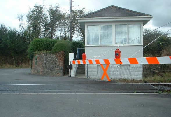
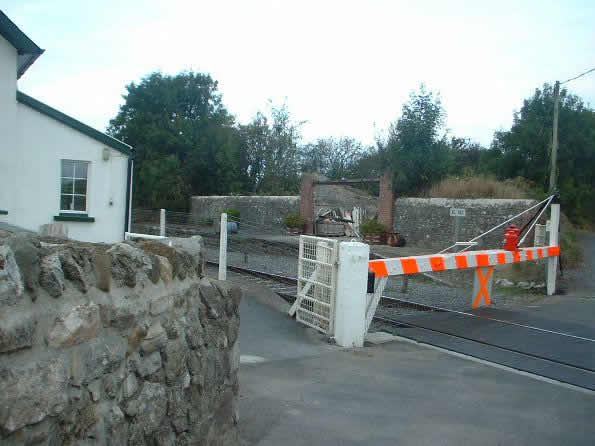
Grange Station
Grange station literally put Grange on the map. Grange station was the last stop before Waterford. The line was finally completed in 1853. One thousand men were employed in its construction between Fiddown and the marsh gates and the job was completed in a record time of four months. Grange station then became a hive of activity were people from all over the parish came to board the station.
Grange station was burned during the Civil War and at one stage was occupied by the free state army. With the arrival of motor cars, passengers decreased and the stop at Grange became no longer viable. Sugar Beat continued to be loaded at the station until the 1970s. The Limerick to Waterford train still passes by daily.
 |
 |
 |
 |
 |
 |
|
Grange Castle |
Grange Castle |
Grange
bridge |
Grange
Station |
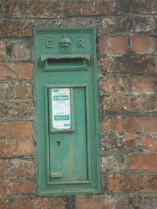
The current Grange Station post office box. Engraved 'E R', which stand for Edward Regina, who was King of Ireland (and UK) from 1901-1910. So post box is now over 100 years old. |
Grange
Station |
Irish; Carhoo-na-hown - Quarter of the ba or river.
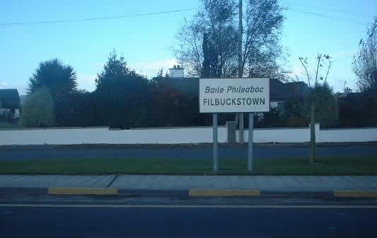
In irish Baile Pilibóc or 'Little Philips town'. Probably named after a son of a previous owner or landowner.
 |
 |
|
Filbuckstown
|
Filbuckstown
|
Grove of the Ash trees. Evidence that monks once lived near rath on a rocky hill.
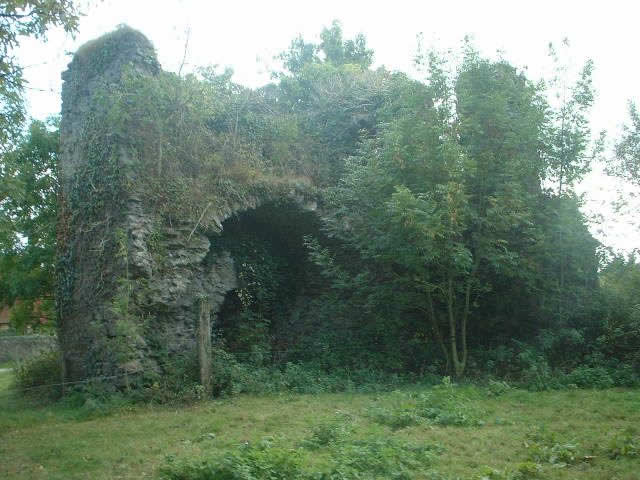
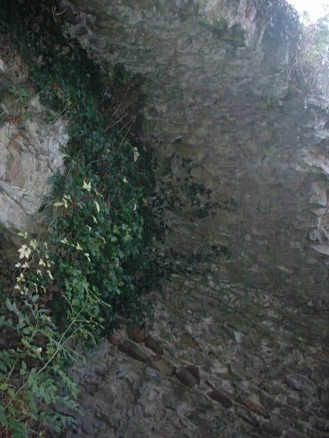
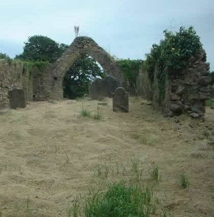
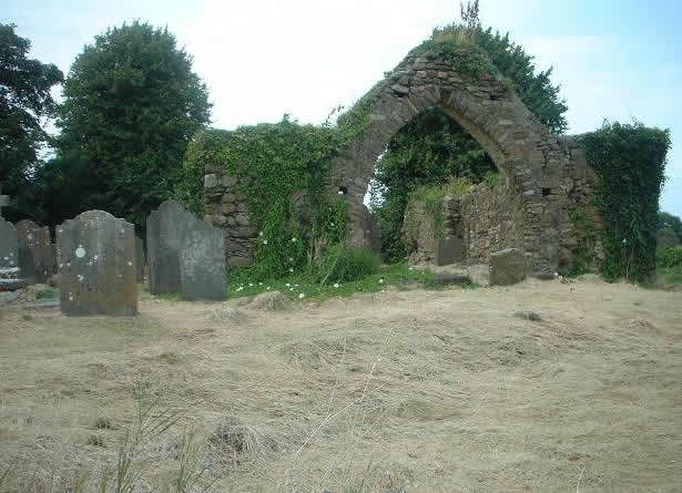
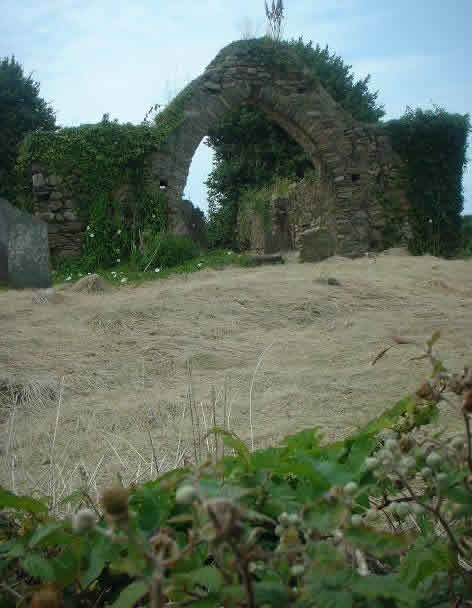
From Irish, Pól means glen or hollow. So St Ruadhans (Rone's) glen or hollow. It comes from the name of the church St Ruadhan - feast day 15th April. The pictures below show Polerone Church of Ireland ruins. The local rectors house was once situated beside this church. The earliest record of a rectory in Polerone comes from 1240. Of the current ruins, there are graves that date from the 1590s. We know that the chancel was knocked in 1828 to build the wall which currently encircles the graveyard, the church must have been closed in the 1800s, although the rector was here during Watt Murphy's time, mid 1800s. There was at one stage a castle nearby too.
 |
 |
 |
 |
|
Polerone
Church |
Polerone
Church |
Polerone
Church |
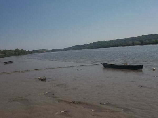
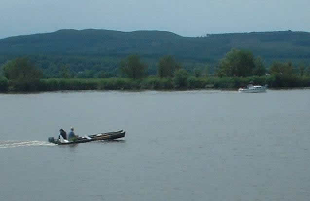
River Suir, Polerone |
 |
 |
 |
 |
 |
 |
|
River Suir
|
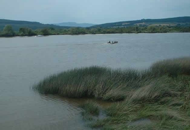
Polerone
Quay
|
Polerone
Quay
|
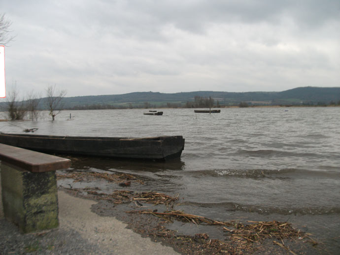
Polerone Quay with cot at very high tide |
River Suir
|
|
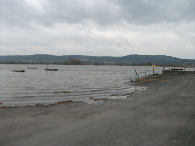
Dournane, meaning Dun-Fhionain or Fionans Fort. No trace of this fort or dun remains. There is a record in 1655 that the 'castle and cabin' in Dournane is owned by the Earl of Ormonde. It is easy to understand why the Earl of Ormonde would have houses in this area as the river was their main route between Carrick-on-Suir, Grannagh Castle, and then up the River Nore to Kilkenny Castle. People rarely travelled by land if they could help it.
Meaning 'O'Brassels town'. MacLysart in his book of Irish surnames, gives this area as the place where the first 'Heneberys' settled. Originally the name would have been de Hindenberg. These original families would have came from main land Europe from the Germany area around the 12th century. They would have sailed up the Suir and settled there. The name is still popular in Mooncoin but is not widespread throughout Ireland.
The river at Ballybrassil witnessed a horrible tragedy in 1944 when four people downed, including a father and son from Kilmacow. They had just left Ballybrassil in two cots to go duck shooting. A freak wave, or swirl, hit one of the cots and capsized it. These waves were caused when the incoming tides hit the outgoing currents of the river. They can be dangerous depended on the time of the year, the amount of rain after falling and the moon cycle. Most could not swim and the heavy wader boots would have dragged the unfortunate victims down too.
They were not the first or last victims of the Suir. In another tragedy in 1907, Drug Walsh's fishing partner Patrick Holden fell out of the cot and drowned.
 |
|
Ballybrassil Lane to River Suir |