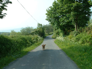
Image 1: View South on leg 1
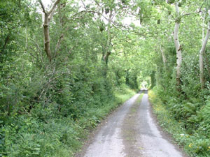
Image 2: North view on leg 1
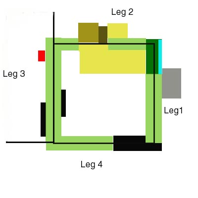
Map
The walk is basically four sides of a square, each side being slightly less than 1/2 a mile.
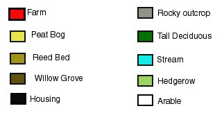
The first leg, South to North has arable fields to the left and right, with high Hawthorn on each side (Image 1). The path slopes steeply upwards, with a total climb of about a hundred feet. Towards the top, the Hawthorn is replaced by tall deciduous trees - mostly Ash, with some Beech, for about 100 yards. A shallow stream flows through this darker area. (Image 2)
|
Image 1: View South on leg 1 |
Image 2: North view on leg 1 |
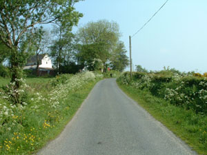
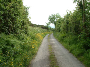
The second leg has rough pasture to the left and arable to the right for about 100 yards. Then there is a Willow grove on the right with a large field full of Reedmace (Image 3). To the left is uncultivated bog. The road again rises by about 30 feet. Finally there is again arable on either side. (Image 4)
|
Image 3: View East on leg 2 |
Image 4: View West on leg 2 |
The third leg has mostly low Hawthorn to either side, with arable fields beyond, and a farmyard to the right. Various lanes to houses leave to the right, and there are a few houses just before turning on to the final leg. (Images 5 and 6)
|
Image 5: View North on leg 3 |
Image 6: View South on leg 3 |
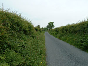
The fourth leg is a busy road with wide grass verges on either side. Again pasture land both left and right. The lower half of this leg is populated, on both sides, with many cottages. (Image 7)
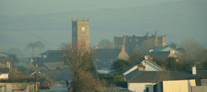
Image 7: view East towards the town
The Map below is the rough layout of the area featured.