
|
|

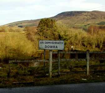
Dowra Here are a few photos of Dowra, with local information, history, and links. If you're a carer living in or near Dowra, please send in your photographs and stories to include on this page!
Click here for link and photograph submissions, any questions, and requests. Please note that some of the links on this page are still in progress and may pull only an error page until mid-March 2007.
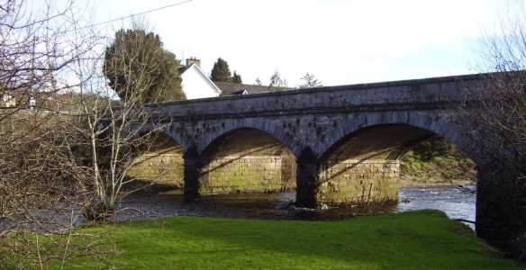
The photographs below have been sized and compressed for a webpage; if you'd like a better-quality copy of any of them, or would like to request a photograph of something in particular, just ask! All photographs on our website are by the Carers Group's Secretary, Susan Carleton unless attributed otherwise.  Dowra is relatively young for an Irish town, dating back to only the mid-19th century. In 1860, several buildings and this bridge (above) over the river Shannon were built from stone taken from the demolition of the old Carrick Gaol. This is the first town on the Shannon, and until this point the river looks like little more than a wandering stream. On the other side of the bridge however, it broadens and run faster over a shallow rock bed, bending to the right to run behind the Post Office and the cattle mart, and southward on its long journey through Ireland to the Atlantic. The local cattle mart draws farmers from all over the Northwest every Saturday, when the town is packed with cars, trailers, tractors and a distinctly bovine fragrance. For more information about the cattle and sheep mart, visit DM Auctions. On Sunday, residents have two churches to choose from: St. Patrick's in Glangevlin (links coming soon), and the Immaculate Conception Church in Doobally, shown above.
While most sections of the Way are accessible to anyone of average ability and fitness, some spots are rough, others squishy, so be sure to wear sturdy and watertight boots if walking its entirery. I'll be walking the whole length of it myself later this year to raise money for the Group, so check back in Summer 2007 for a more detailed account and photographs of the Cavan Way.
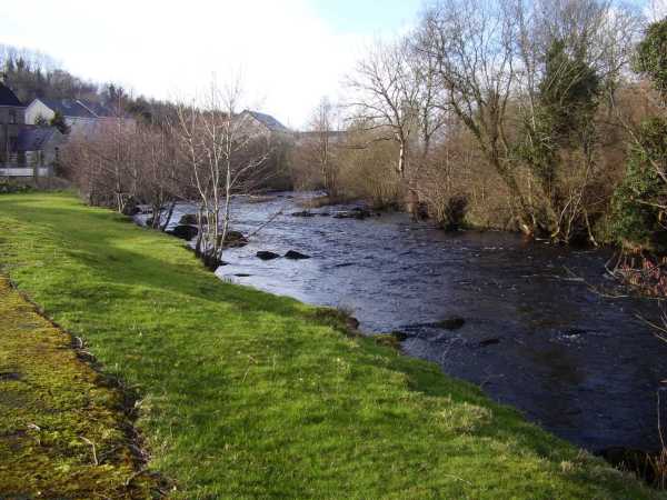
Several local roads converge here as well, leading you to Ballinaglera in five minutes, Drumshanbo in 20 minutes (Carrick-on-Shannon is ten minutes further on), Blacklion in 15 minutes (to the N16, which takes you to Manorhamilton, Sligo, or Ennikillen), Glangevlin in four minutes (which leads you to the junction toward Ballyconnell and Cavan Town), Drumkeerin, and Lough Allen. Below is one last look at the Shannon:  That's all for now, but check back for updates. Meanwhile, here are some links: Noel Keegan: Estate Agent, Accommodation, Publican and Undertaker. DM Auctions: Cattle and sheep sales; Estate Agents |
© 2007 NLWC Carers Group Photograph of a Lough MacNean sunset, looking from the County Cavan shore toward County Leitrim;
taken in 2006 by Group Secretary Susan Carleton (all rights reserved)